

Connecting Carmel's Spectacular Natural Beauty to Create a World-class Walking and Hiking Destination
More Connections. More Joy.
We have a remarkable opportunity to enhance our community's quality of life by establishing a seamless trail network connecting Carmel-By-The-Sea to the State Park and Regional Parklands south of the Carmel River. The proposed project includes the creation of a community walking trail and a pedestrian bridge across the Carmel River, effectively linking various trails and parks that are currently disjointed.
Importantly, this initiative necessitates no additional land purchase, as all the connectivity points are within public ownership. Furthermore, the existing parking facilities at each of these geographic connection points offer users the flexibility to choose their preferred access to the new trail system.
The implementation of this new trail holds the promise of significantly improving opportunities for walking, hiking, and experiencing the breathtaking natural beauty of the Carmel Area. Each unique connection along this trail adds to its allure, earning it the fitting name of the 'Bridge to Everywhere.'

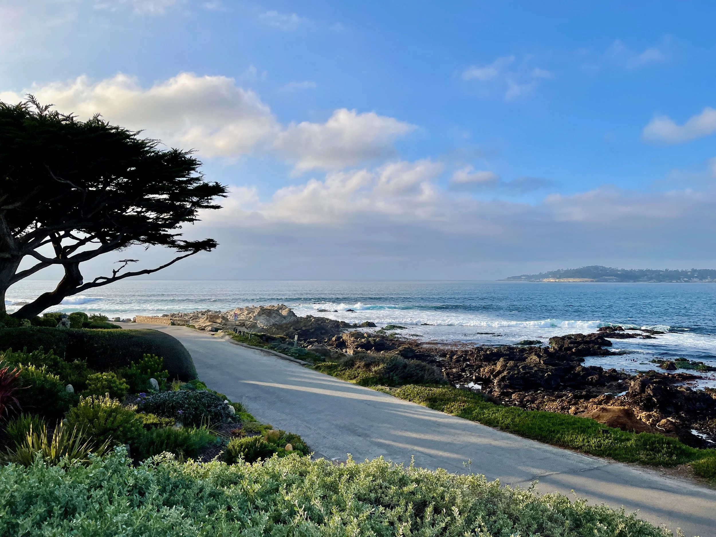
Carmel's Scenic Beach
Mission Trail Nature Preserve

Carmel Area Red Shouldered Hawk
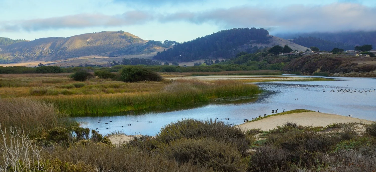
Carmel River Lagoon

Flock of brown pelicans on cliff at Point Lobos Natural Reserve

Palo Corona Regional Park

Bobcat in Palo Corona Regional Park

Hatton Canyon
Rio Park

Point Lobos

California Quail
Carmel Scenic Pathway
Carmel River Floodplain Restoration and Environmental Enhancement Project
Larson Field & Access Way connection to Rio Park and CAWD Bridge
Point Lobos Natural Reserve
Old CAWD Access Road

Grazing Fawn
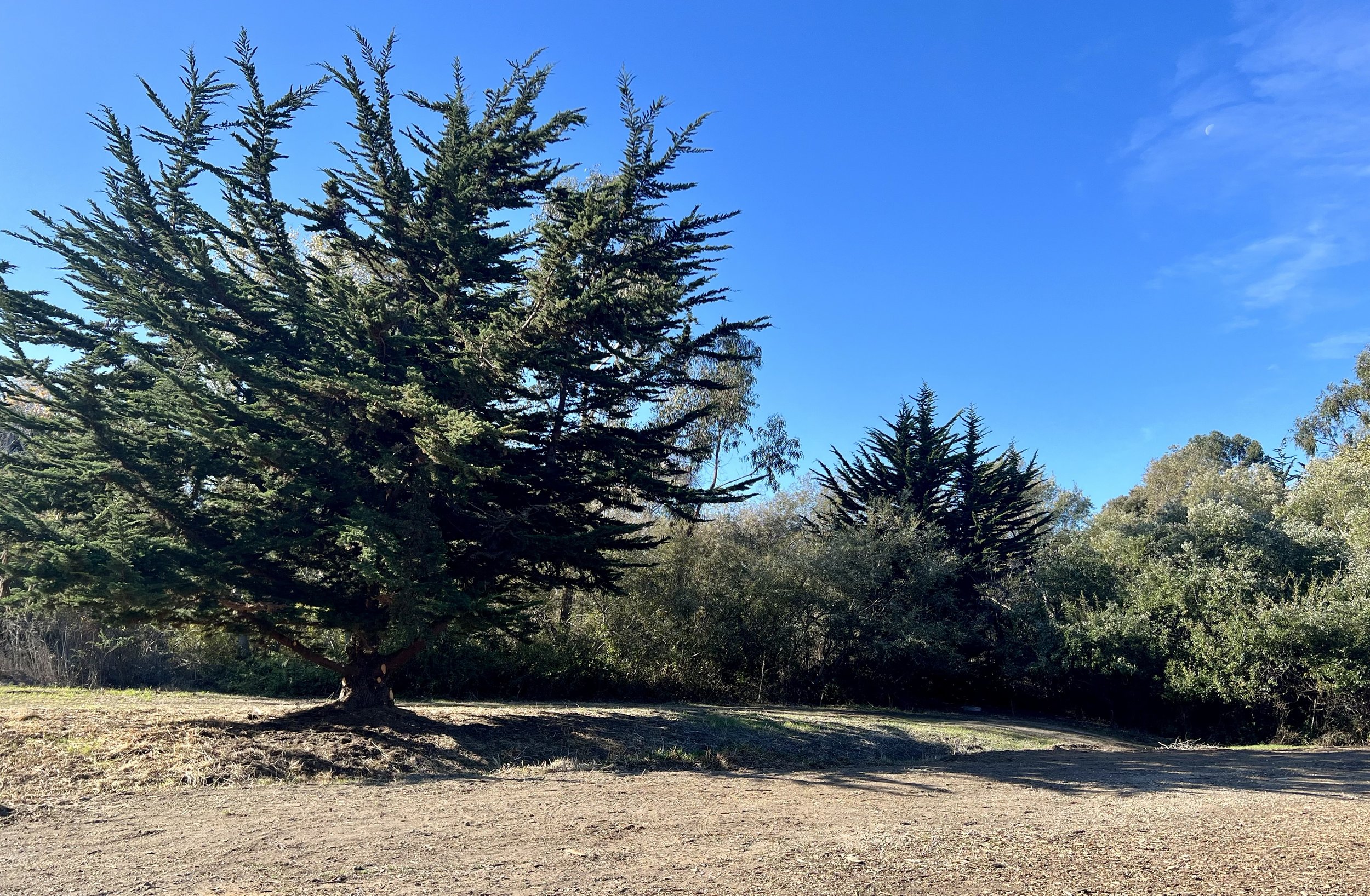
Mission Trail
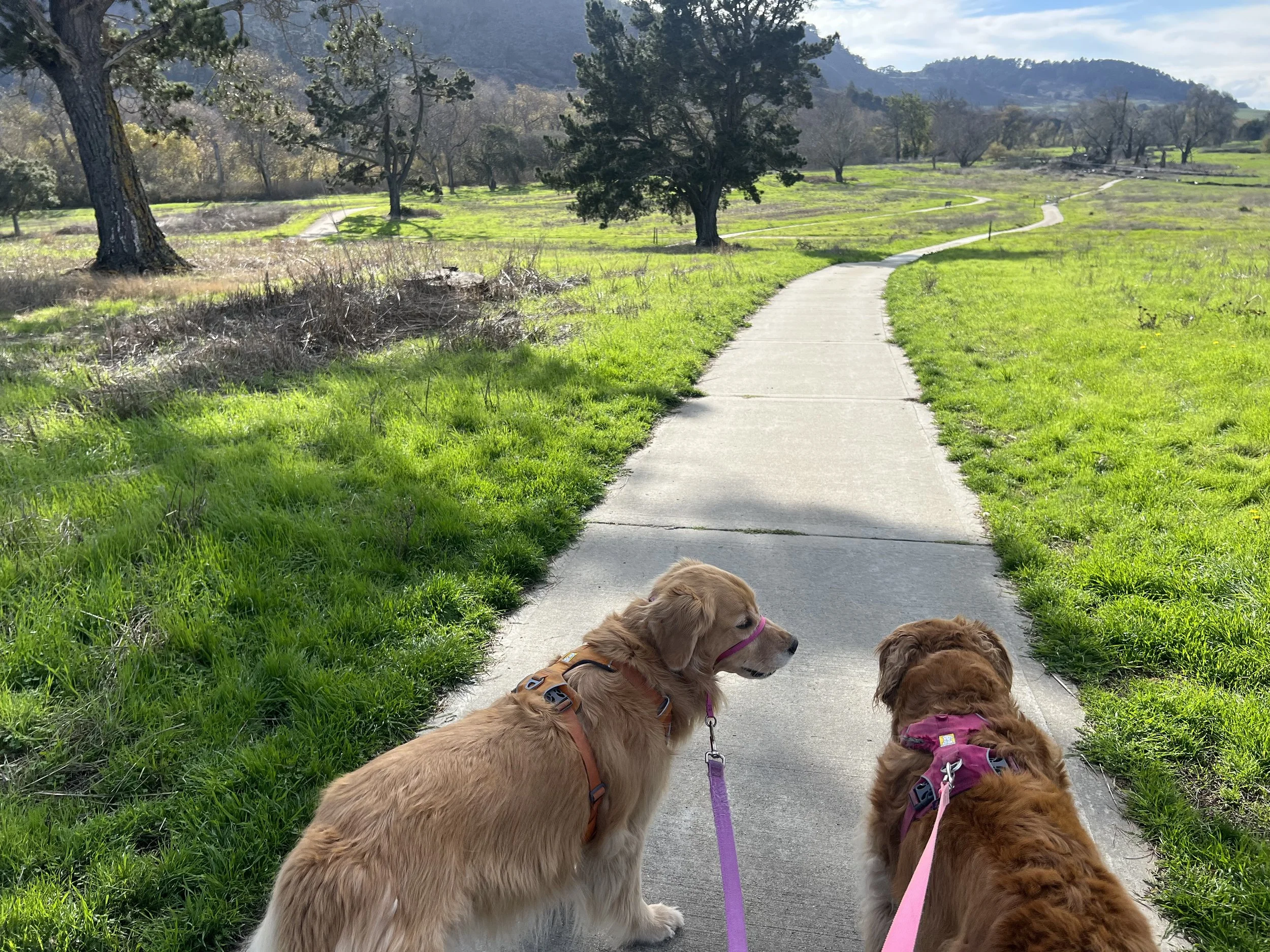
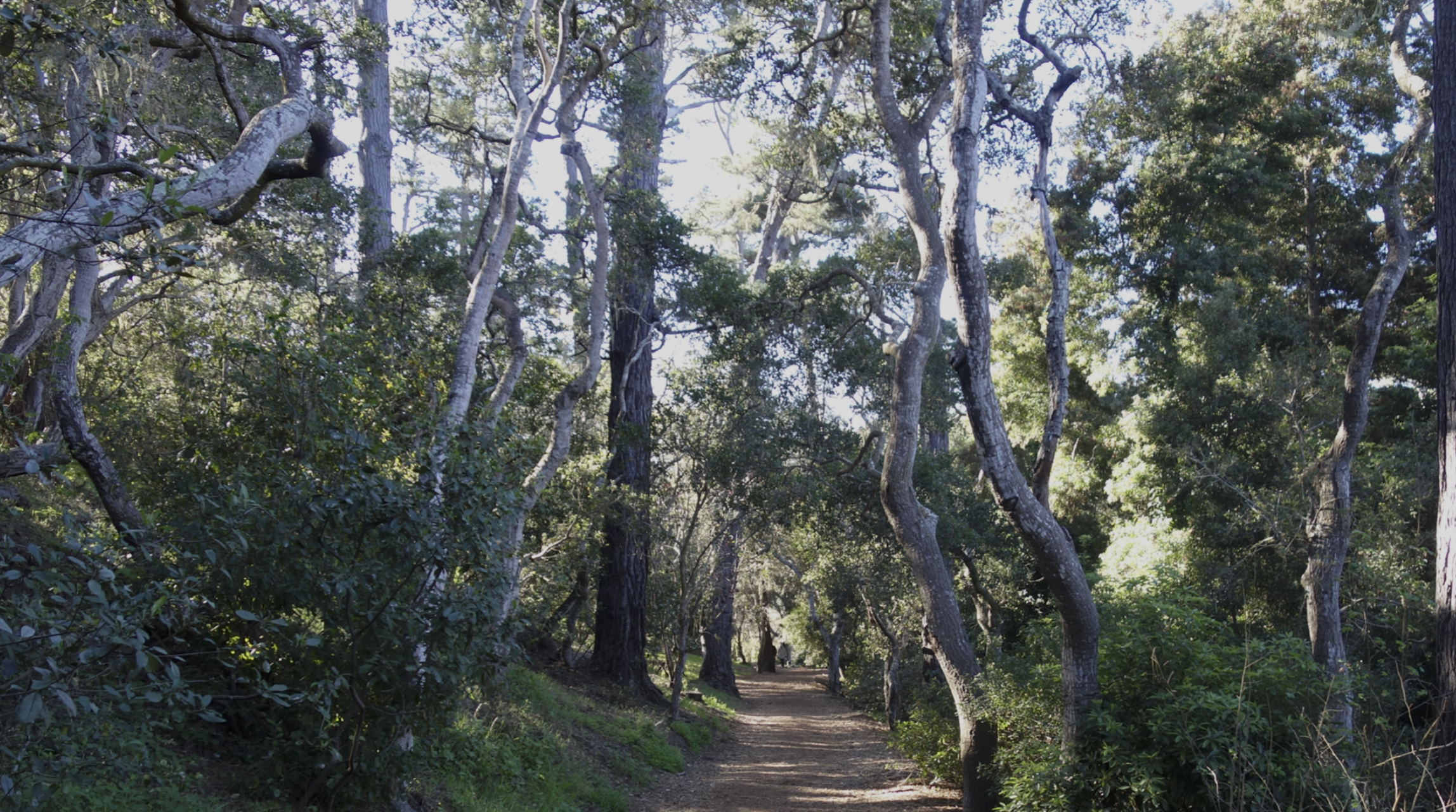
The new Trail would continue from Mission Trail which is a strikingly beautiful nature preserve in the heart of Carmel-by-the-Sea with peaceful, secluded walking trails inside a 34-acre woodland landscape.
Mission trail is a treasured place for local residents and visitors to experience walking trails within the city limits. Mission Trail is a 1.5-mile-long loop that ends at Rio Rd across from the Carmel Mission.

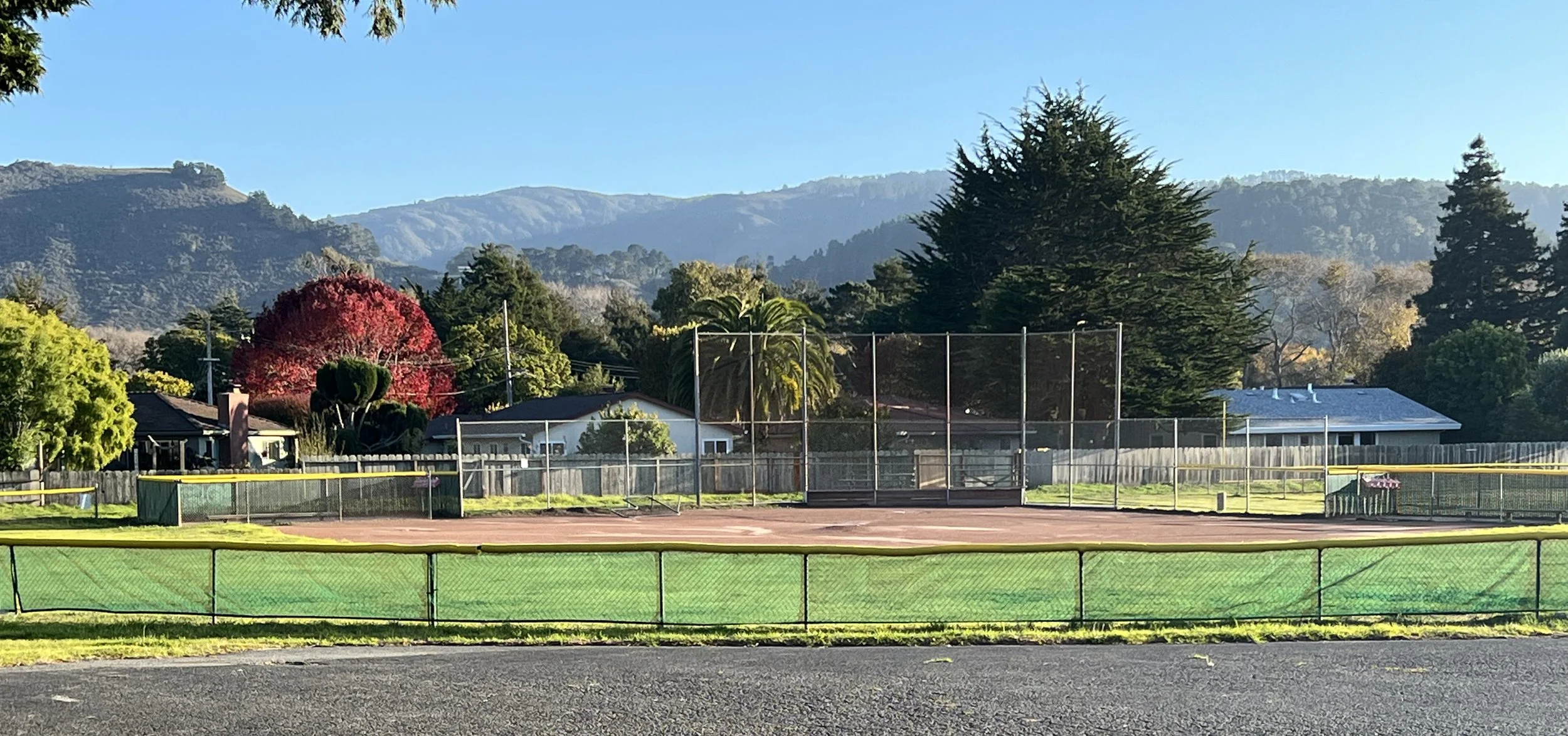
Larson Field & Access Way
Larson Field is adjacent to the Carmel Mission and owned by the Mission Diocese of Monterey. It’s a recreational park used for Carmel Youth Baseball. The new trail, when developed, would include enhancements and renovations to the existing Rio Road crosswalk, entry to the baseball field, and the Access Way leading directly to Rio Park, which runs along the eastern edge of the baseball field and adjacent to the Mission Fields homes is a CAWD easement.
These improvements will measurably improve the safety of the crosswalk and provide safer access overall for children around the Mission.
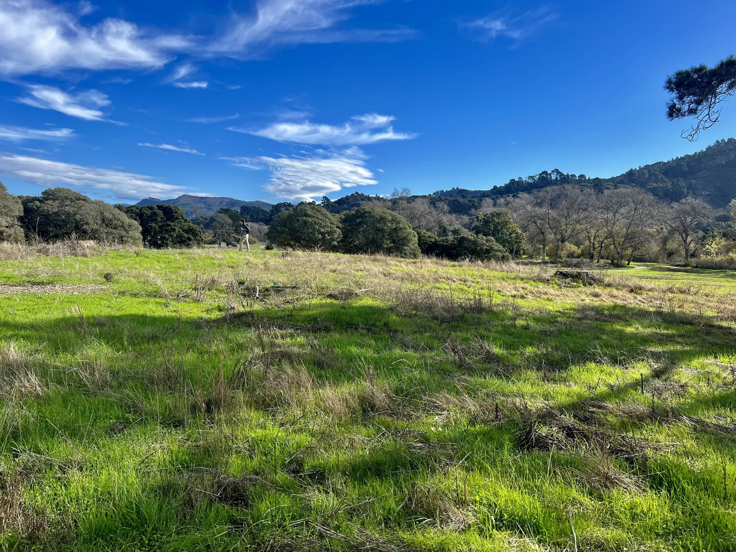
Rio Park
Rio Park is a 6.24-acre undeveloped park that is adjacent to the CAWD footbridge area. It is owned by the City of Carmel-by-the-Sea and is currently used as a temporary corporation yard for wood chips, large tree stumps, and the storage of beach fire pits.
The original design vision was for this to be a passive park in a sunken-bowl shape with no permanent structures (other than removable playground equipment) that could act as an important flood control if needed. This open space will provide ample walking and biking terrain.

CAWD Bridge
The CAWD bridge is a central connection hub for the proposed new trail project. It was originally built in 1938, five years after the construction of the Golden Gate Bridge and it shares a similar suspension bridge design. Standing on the bridge looking down at the water provides a uniquely beautiful vantage point to observe the vital aquatic habitat for juvenile steelhead in the river. And in the canopy above the water is a flourishing covey of migratory birds.
The CAWD Bridge is the only river crossing West of Hwy 1, but it is currently unusable and would need to be upgraded or replaced for general public access.

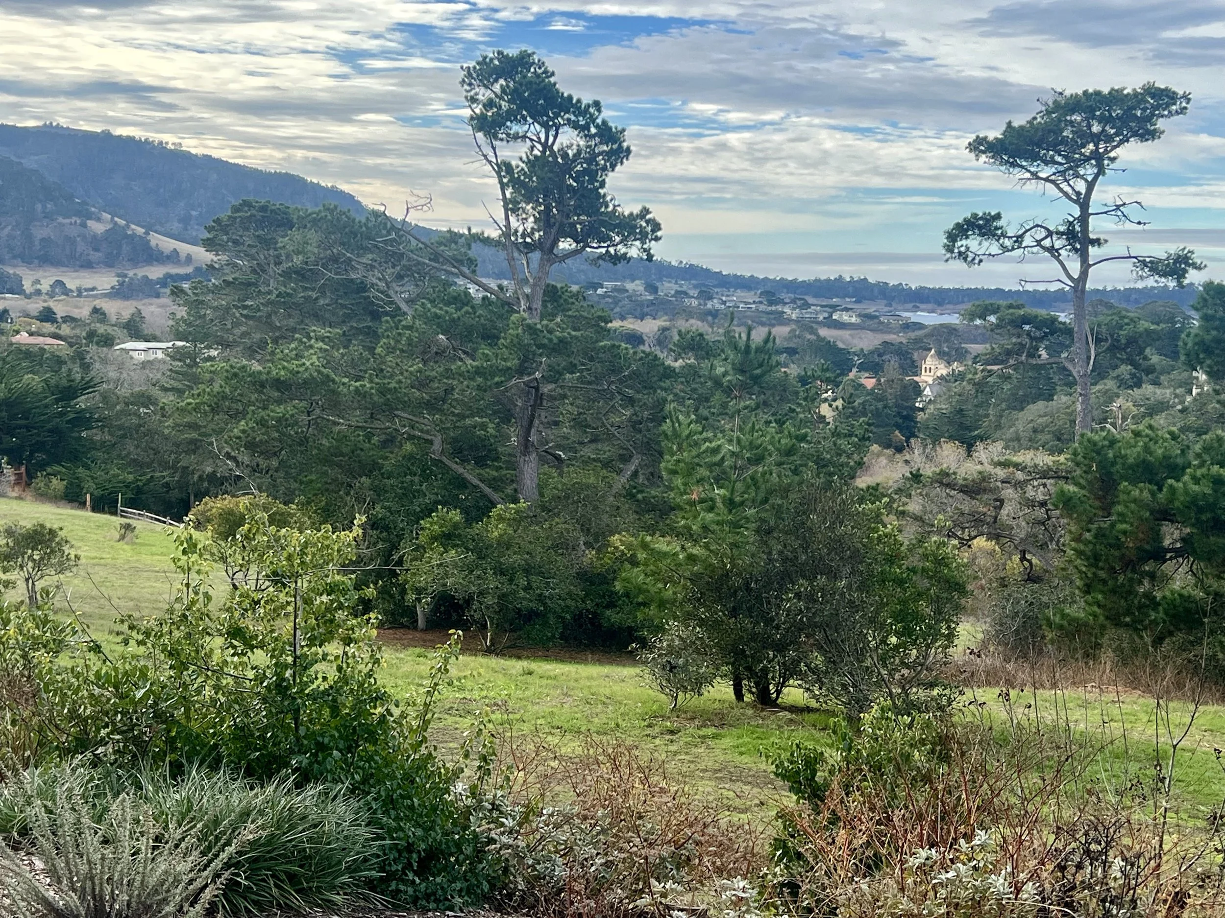
Old CAWD Access Road
Once you cross to the South side of the Carmel River, you reach mostly undeveloped land except for the CAWD wastewater treatment plant, which has been in operation for more than a century. This plant serves as critical infrastructure for the Carmel Area and also an essential water resource providing all treated water necessary to irrigate the world-renowned golf courses to the north in Pebble Beach.
This area is a hotspot for bird watchers looking to spot a rare species. It is also home to an abundance of other wildlife including bobcats, coyote, deer, wild boar, and the occasional mountain lion. The Old Access road was abandoned in the 90’s, but is still intact and could be easily converted into a walking and biking trail.
The road extends all the way to Hwy 1. Most of this old road is now on State Parks property and it’s connected to the larger property owned by the State Parks that connects to the Carmel Lagoon and Carmel River Beach. The vast majority of this 155-acre park is currently unavailable for public use.

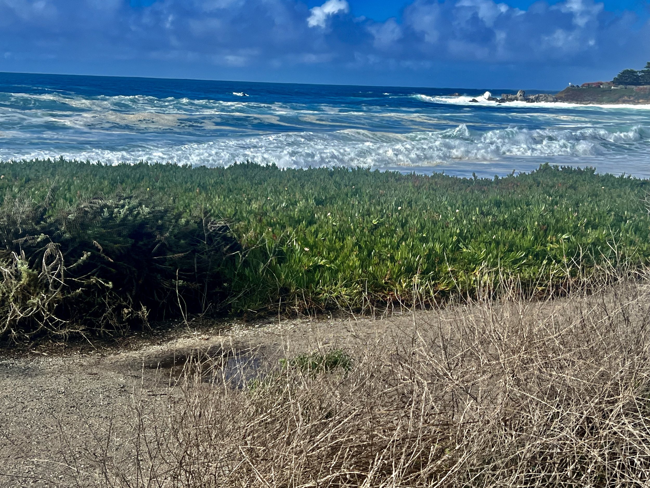
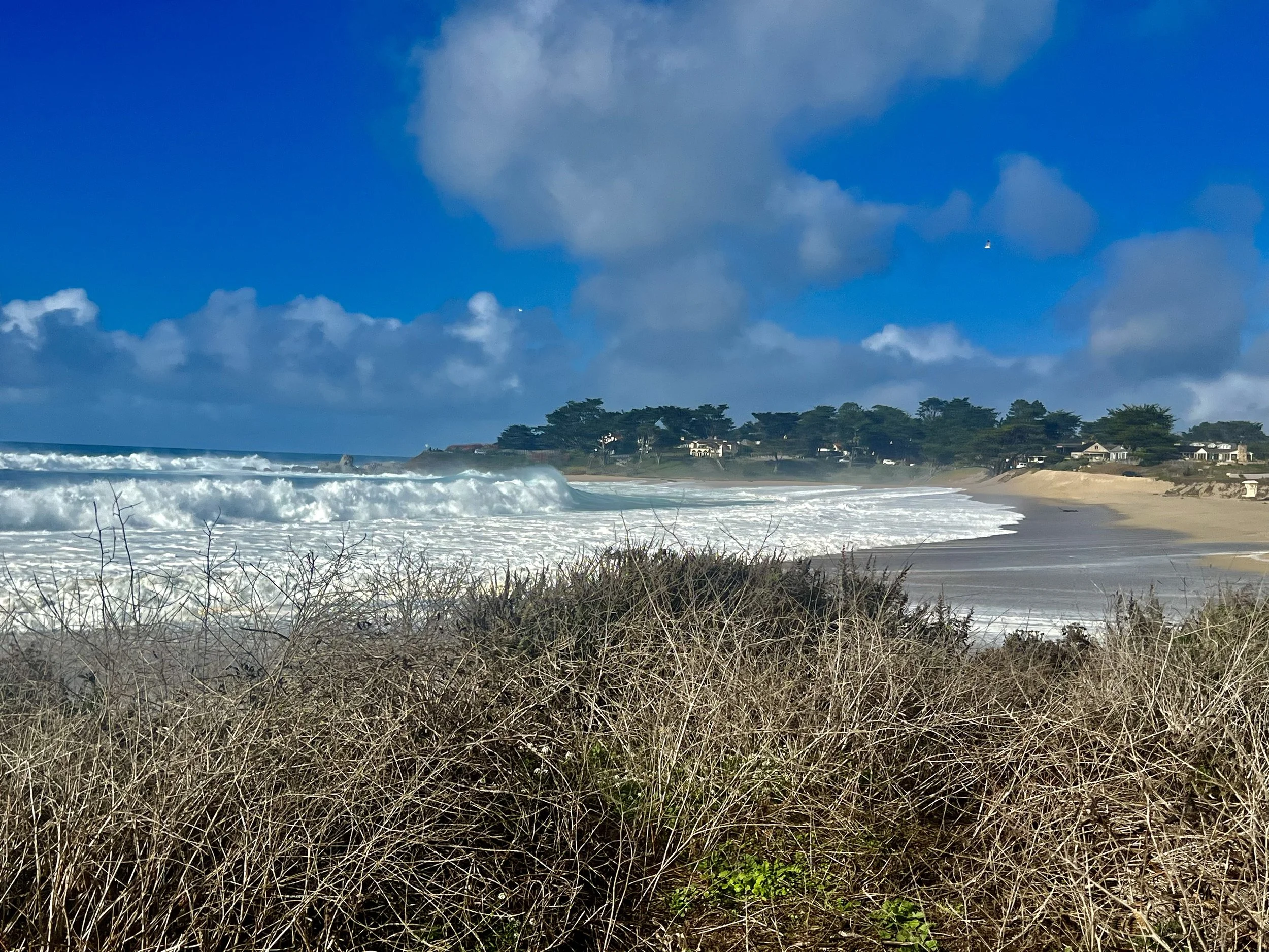
Carmel’s Scenic Pathway, Carmel River Lagoon, & Adjacent Beaches
The stunning Scenic Road Pathway stretches from Pebble Beach on the northern end and winds its way through Carmel-by-the-Sea, around Carmel Point and south connecting Carmel River State Beach, Carmel Meadows Beach, Monastery Beach, and continuing on to Point Lobos.
Tucked in from the Carmel River State beach is a large area of wetlands and the Carmel River Lagoon—the area just before the Carmel River empties into the sea—which hosts a thriving bird sanctuary featuring a wide variety of ducks, geese, songbirds, and shorebirds. It offers walkers, birdwatchers, and hikers some extraordinary panoramic views.

Hatton Canyon
Hatton Canyon is a unique, urban open space that is a state park property. The canyon is home to Monterey Pines and 10 acres of wetlands. Community homeowners and environmental advocates fought for decades to prevent this area from becoming a freeway. It is currently accessible to the public at Carmel Valley Road via a partially paved and dirt trail at the mouth of Carmel Valley.
Palo Corona Regional Park
Palo Corona Regional Park is one of Central Coast California’s most significant undeveloped open spaces. The Park stretches nearly 10 miles in length, across more than 4,500 sprawling acres of rugged, spectacular land that boasts an extraordinary mix of ecosystems, wildlife species, and hiking trails. The park protects significant habitat areas, wildlife corridors, wildlife, and endangered species. The new trail could connect Palo Corona via a causeway underneath Hwy 1.
CRFREE Trails
Carmel River Floodplain Restoration and Environmental Enhancement Project, known as CRFREE will restore habitat and help significantly reduce flood risks for homes and businesses in the lower Carmel River watershed. They plan to use a nature-based green infrastructure solution, to reclaim the southern floodplain and direct water away from developed areas north of the river. Big Sur Land Trust is the largest landowner of the Carmel River FREE site, though portions of the project are also located on Palo Corona Regional Park and Carmel River State Beach.

Monastery Beach to Point Lobos State Natural Reserve
Monastery Beach, named for the Carmelite Monastery, is part of Carmel River State Beach. The one-third mile-long stretch of sand is very popular with divers and locals who love to walk.
Point Lobos State Natural Reserve has often been called “The crown jewel of the California State Park
System.” People travel from all over the world to be inspired by this stunning, unique place.